
In Italian
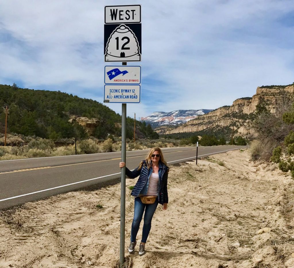
Utah Scenic Byway 12 itinerary, 200km of pure, peerless beauty through some of the most far off, different and charming landscapes of the Southwest USA.
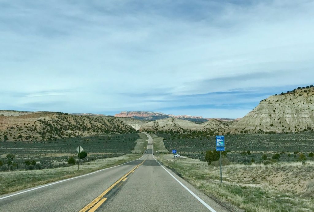
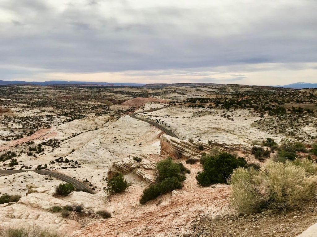
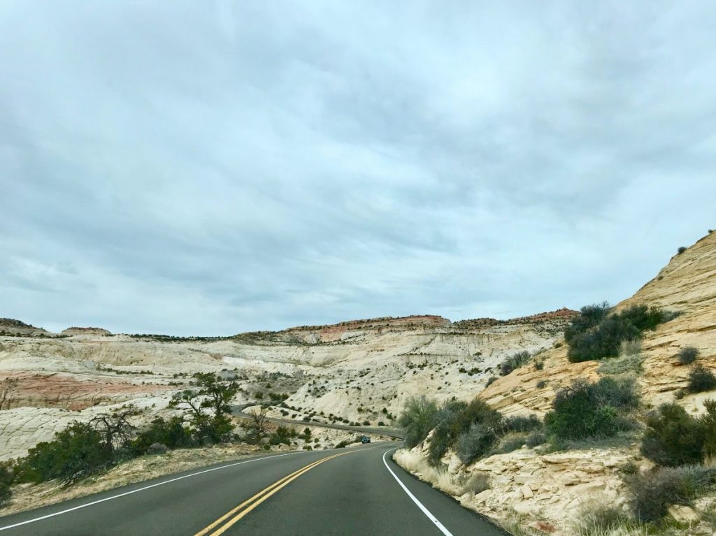
Winding roads, in some traits literally “straight down the infinite”, canyons of red and ochre rock, valleys – remains of seabed dating back to millions years ago – and alpine forests among the highest in the world. Red, pink and ivory rock spires contrasting with the vastness of the deserts neighboring them, besides a series of archeological evidences tied to the natives’ people who inhabited this land in remote times.
Utah Scenic Byway 12 itinerary
The landscape along the path keeps changing, both form a natural point of view and as regards altitude, so – in Fall and Spring above all – it can occur to pass frorm snow and ice in some traits as far as wind and scorching heat in other ones.
An experience to live and enjoy, with no rush, dedicating to the Utah Scenic Byway 12 the major part of time in your hands, according to your schedule and the stages of your journey to the Southwest USA.
“Adventure is not in the guidebook; beauty is not on the map. Seek and ye shall find.”
(Terry and Renny Russell – “On the Loose”)
Utah Scenic Byway 12 itinerary
Utah Scenic Byway 12 goes through – besides a series of small towns and related detours to drive the Scenic Backways (scenic roads suggestive as well, but not so famous, often because hard to be accessible) – some of the most fascinating and suggestive places of the magic (and very beautiful) state of Utah: among them two national parks, three state parks, a national recreation area, a national monument and a national forest.
You can choose to go along it both ways – form North-East, so Torrey if you come from Moab, or the US 89, from South-West – and above all if go through it all in a day to enjoy simply the view and some quick stops. Or decide to dedicate to it at least a couple of days – a heartily recommended choice – to discover some of its natural wonders, go along trails and explore well some Scenic Backways.
Utah Scenic Byway 12 itinerary
In planning the journey is however necessary always to keep in mind some important indications:
Utah Scenic Byway 12 itinerary
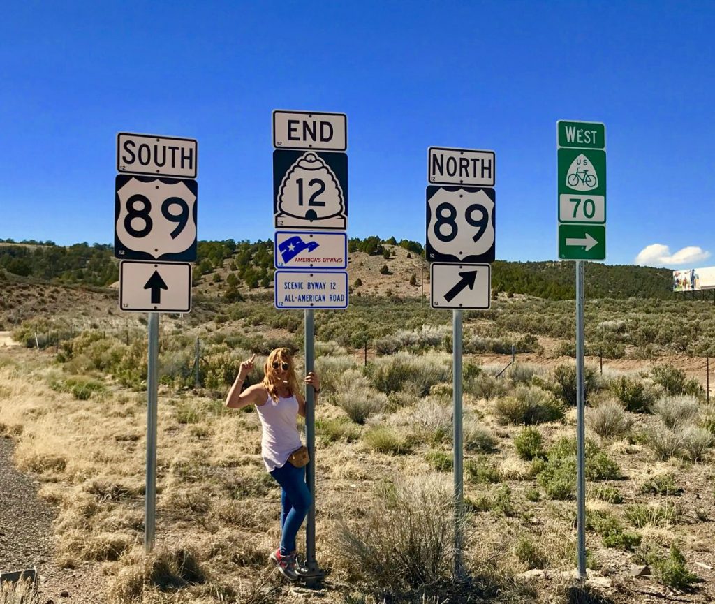
“My” Utah Scenic Byway 12 itinerary leaves from Utah Heritage Hwy 89 (coming from the north from Salt Lake City or from the south from Kanab): take as reference the nice small town of Panguitch as far as progressively reaching the final stage, Torrey.
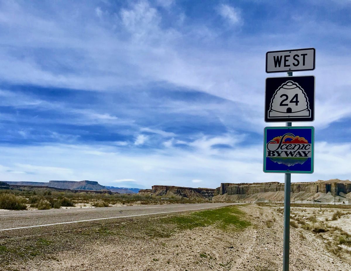
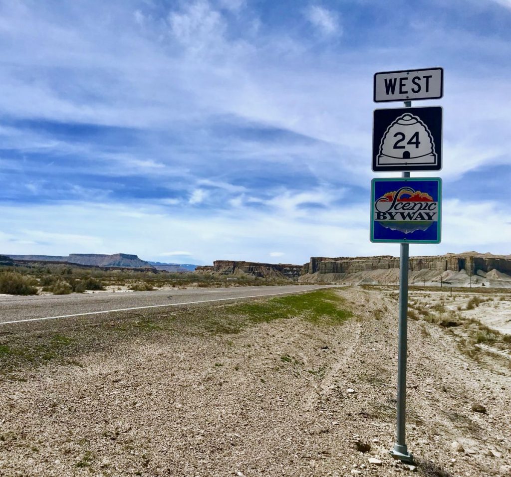
My path can be easily done on the opposite way if you come from Moab and from another amazing scenic road, Utah Scenic Byway 24.
Find down here all the stages of the path – some really beautiful Scenic Backway included – with a short explanation and deepener links.
Utah Scenic Byway 12 itinerary
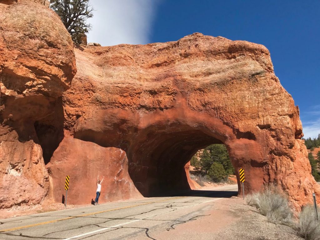
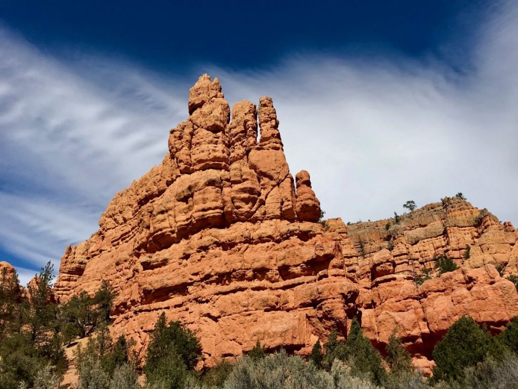
1. Red Canyon – endless hoodoos, pinnacles, spires and towers dig by the weather in the red calcareous stone of the Paunsaugunt Backway. Find here further info about it.
2. East Fork Sevier River Scenic Backway – wonderful “secondary” scenic road extending to the south of Utah 12 over 29km along the edge of the Bryce Canyon National Park.
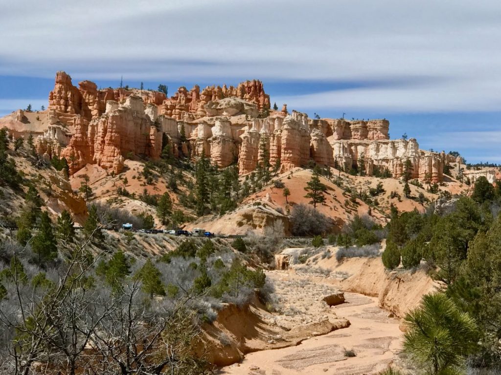
3. Bryce Canyon NP – a series of amphitheaters dig over millions of years on the pink Claron limestone always in the Paunsaugunt Plateau. Many hoodoos, pinnacles, buttresses and multicolor colons can be seen from the 60km scenic road crossing the park and offering several viewpoints, trails and excursion paths.
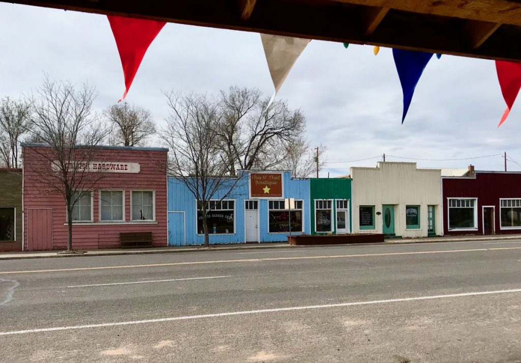
4. Tropic – one of the three towns in the Bryce Valley along Utah Scenic Byway 12.
5. Cannonville – another small town in the Bryce Valley, founded in 1876. In July it hosts the annual and very appreciated Old Time Fiddlers and Bear Festival.
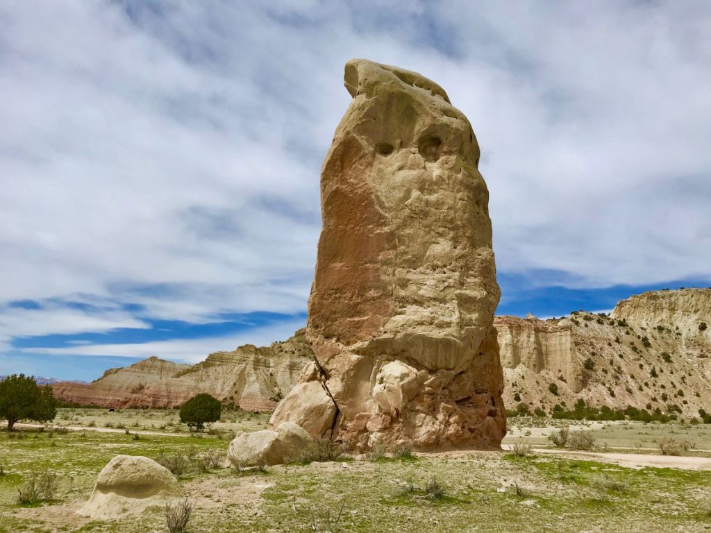
6. Kodachrome Basin State Park – state park not so much famous, about 14km far from Cannonville, famous for its 69 multicolor spires. Find here a deepener report to plan the tour.
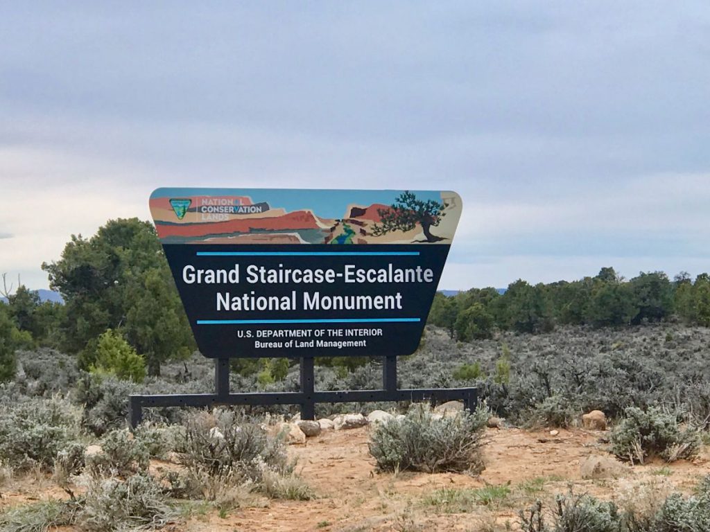
7. Cottonwood Canyon Scenic Backway – scenic road going over 70km through the Grand Staircase-Escalante National Monument, from Cannonville as far as Highway 89. It is asphalted for about 14km between Cannonville and the crossroads for Kodachrome Basin State Park, then it is a dirty road.
8. Henrieville – old and picturesque small town tied to the pioneers’ deeds, founded in 1870.
9. The Blues – Powell Point Overlook – amazing viewpoint over the rocky pink Powell Point limestone and over the grey-green shades of the thousands of badlands of the valley below.
10. Upper Valley Granaries – a small stone and mud plastered construction (well hidden, pay a lot of attention on your right 15km after Powell Point) built by the ancient ancestral Pueblo populations for the storage of corn, wheat and other food cultivated and picked nearby.
11. Escalante Petrified Forest State Park – even though relatively small, this State Park gives one of the most suggestive (and that can be reached) petrified forests of the Southwest USA, second only to the Petrified Forest NP in Arizona according to me.
12. Escalante – defined rightly “Heart of Utah Scenic Byway 12”, Escalante – fascinating small town founded in 1870 by Mormons pioneers – is located literally in the heart of Utah 12.
Utah Scenic Byway 12 itinerary
Utah Scenic Byway 12 itinerary
Utah Scenic Byway 12 itinerary
Utah Scenic Byway 12 itinerary
Utah Scenic Byway 12 itinerary
Utah Scenic Byway 12 itinerary
Utah Scenic Byway 12 itinerary
Utah Scenic Byway 12 itinerary
1. Hole in the Rock Scenic Backway – an amazing secondary road taken 8km to the east of Escalante. 90km long, it develops along a dirty path following that one set out on by the Mormons pioneers in 1879-1881. Today it gives access to a number of trails and historic sites of the Grand Staircase-Escalante National Monument and the Glen Canyon National Recreation Area. Not to miss: Devil’s Garden and Dry Fork slot canyons and for the bravest ones Dance Hall Rock and Hole in to the Rock at the end of the dirty road.
2. Posey Lake/Pine Creek Scenic Backway – scenic road of about 65km leaving to the north of Escalante and climbing up as far as the Posey Lake in the Dixie National Forest.
3. Hell’s Backbone Scenic Backway – another scenic road dating back to 1933, with a view of the Box-Death Hollow Wilderness Area.
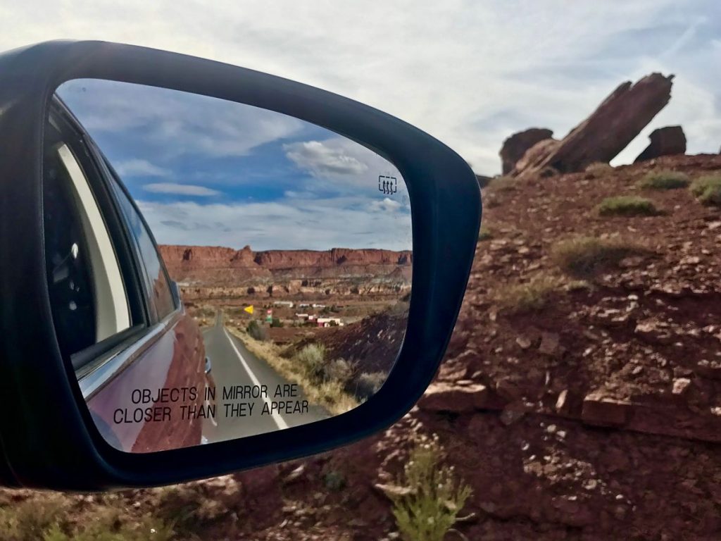
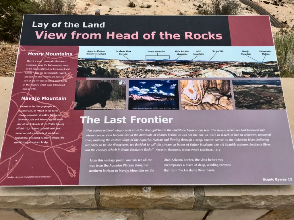
4. Head of the Rocks Overlook – a suggestive view over the red and ivory sandstone rocky formations of the Escalante Canyon.
5. Boynton Overlook – a breathtaking viewpoint over the Escalante River valley.
6. Kiva Koffehouse – a break more than recommended for the Espresso, cakes, sandwiches and salads in this suggestive coffee house, where also rooms (almost always sold out, in case move well in advanced) to stay overnight are also available.
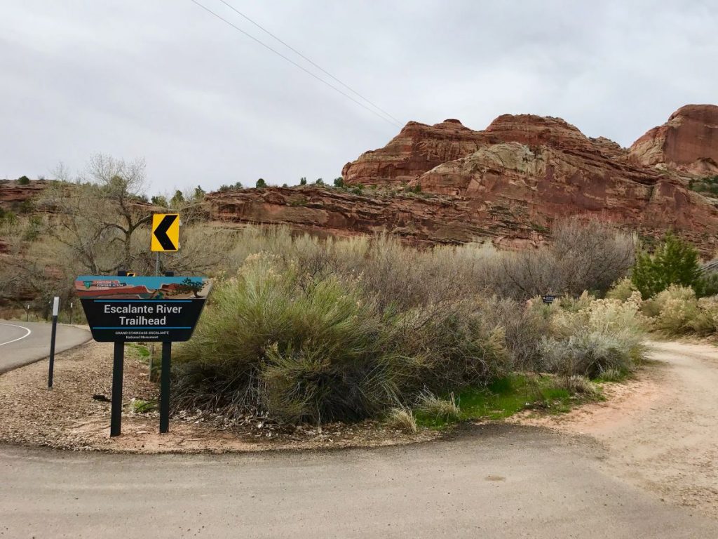
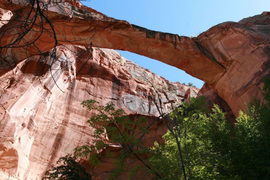
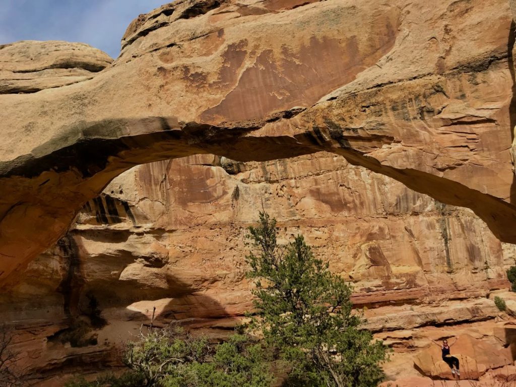
7. Escalante River Trailhead – a very beautiful trail, quite hard, of about 20km taking discovering and admiring the Escalante Natural Arch and the Escalante Natural Bridge.
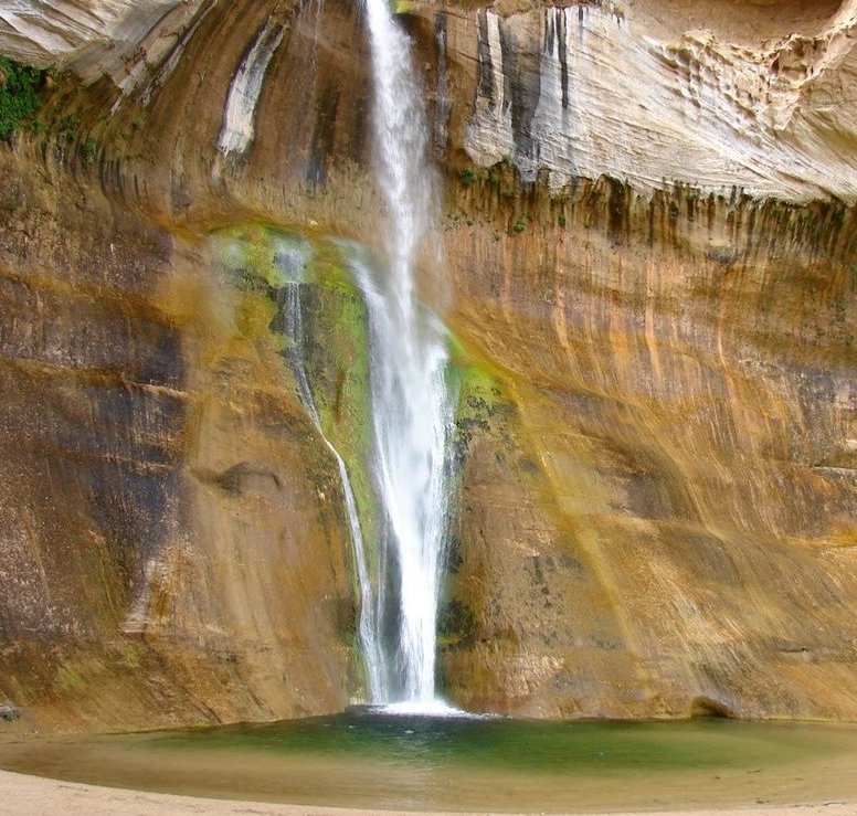
8. Calf Creek Recreation Area – an excursion hard as well, but recommended. About 10km to reach the amazing Lower Calf Creek Falls flowing in a sort of natural swimming pool in the Calf Creek Canyon.
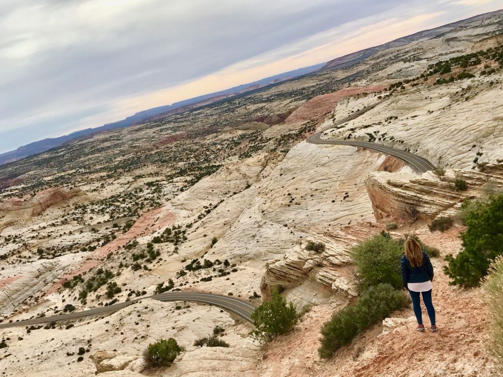
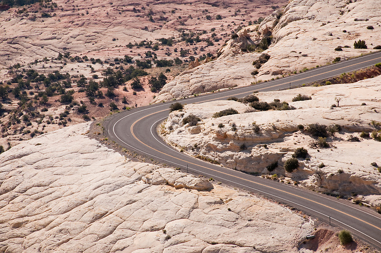
9. The Hogback – a trait of Utah12 magically winding among winding canyons of white and ochre rock, one among the most suggestive ones (and among my favorite ones) of the path, by far.
10. Boulder – once known as “The Last Frontier in Utah” because of his highness and distance from any other town, it is one of the last “big” towns of Utah 12 before Torrey. Not to miss the tour of the Anasazi State Park Museum to discover and learn about the daily life of the populations settled in this area around year 1000.
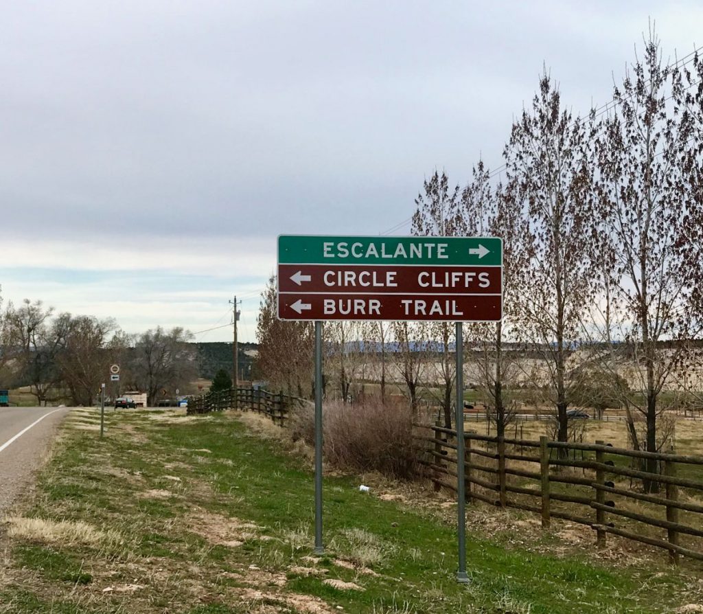
11. Burr Trail Scenic Backway – amazing secondary scenic road of about 150km winding through canyons and forests giving access to the eastern part of the Grand Staircase-Escalante National Monument, to the southern one of the Capitol Reef National Park and to a northern section of the Glen Canyon National Recreation Area.
12. Homestead Overlook – viewpoint at almost 3000m of altitude from where you can admire the five tops of the Henry Mountains to the east, the magenta tip of the Waterpocket Fold on the bottom and the striped face of the Kaiparowits Plateau to the west.
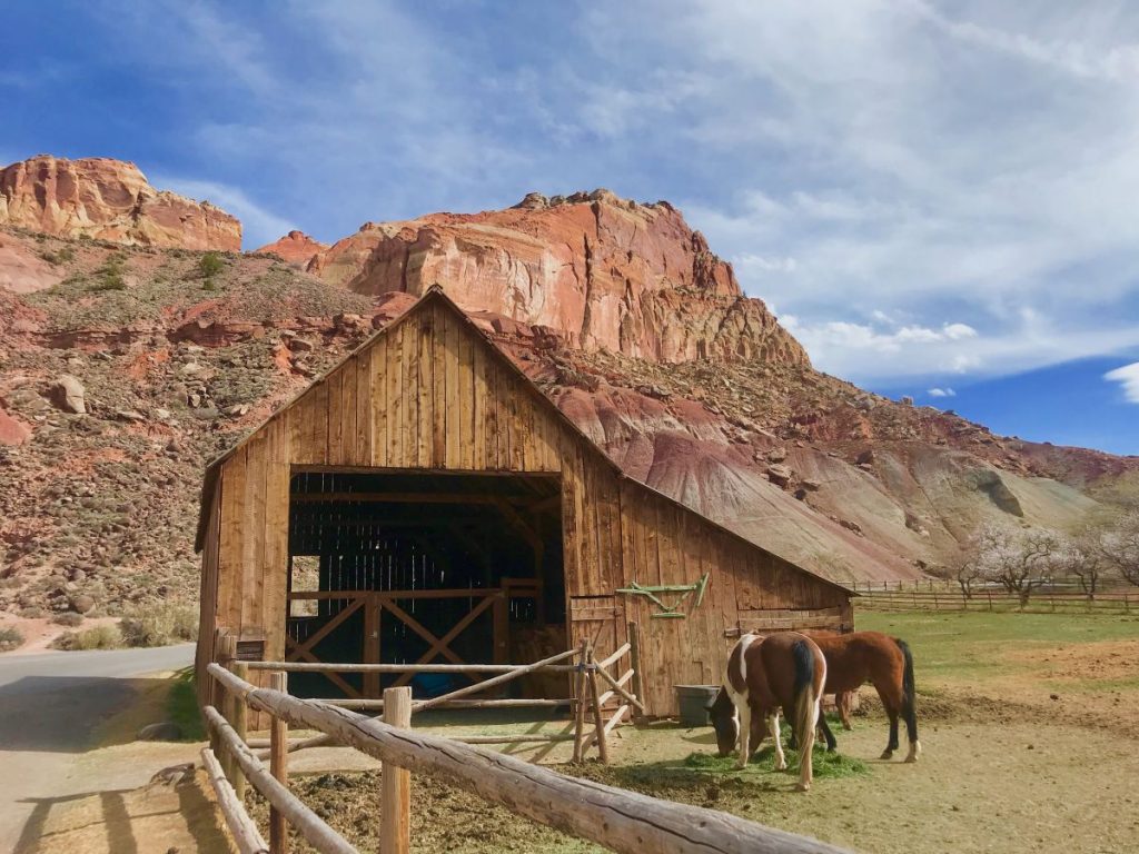
13. Torrey & Capitol Reef National Park – Torrey, final stage (or initial stage according to the way) of Utah 12 Scenic Byway. A typical small town of pioneers with some vintage buildings still standing, giving access to another beautiful road, Utah Scenic Byway 24, to another of the most visited National Parks of the area – Capitol Reef NP – and to the peculiar Mormon small town of Fruita.
Utah Scenic Byway 12 itinerary
Utah Scenic Byway 12 itinerary
Utah Scenic Byway 12 itinerary
Utah Scenic Byway 12 itinerary
Utah Scenic Byway 12 itinerary
Utah Scenic Byway 12 itinerary
Utah Scenic Byway 12 itinerary
Utah Scenic Byway 12 itinerary
UUtah Scenic Byway 12 itinerary
Utah Scenic Byway 12 itinerary
Utah Scenic Byway 12 itinerary
If you are going to spend more than one day along Utah Scenic Byway 12, it could be useful to plan and book in advance – above all in high season and according to the selected stages – the overnight stays.
Utah Scenic Byway 12 itinerary
In distance order: Torrey, Boulder, Escalante, Cannonville and Tropic are the ideal places to stay, first of all because they are strategically located near the most visited attractions and then because they have a major and variegated (above all from an economic point of view) offer of accommodation.

 Traveling to the United States

